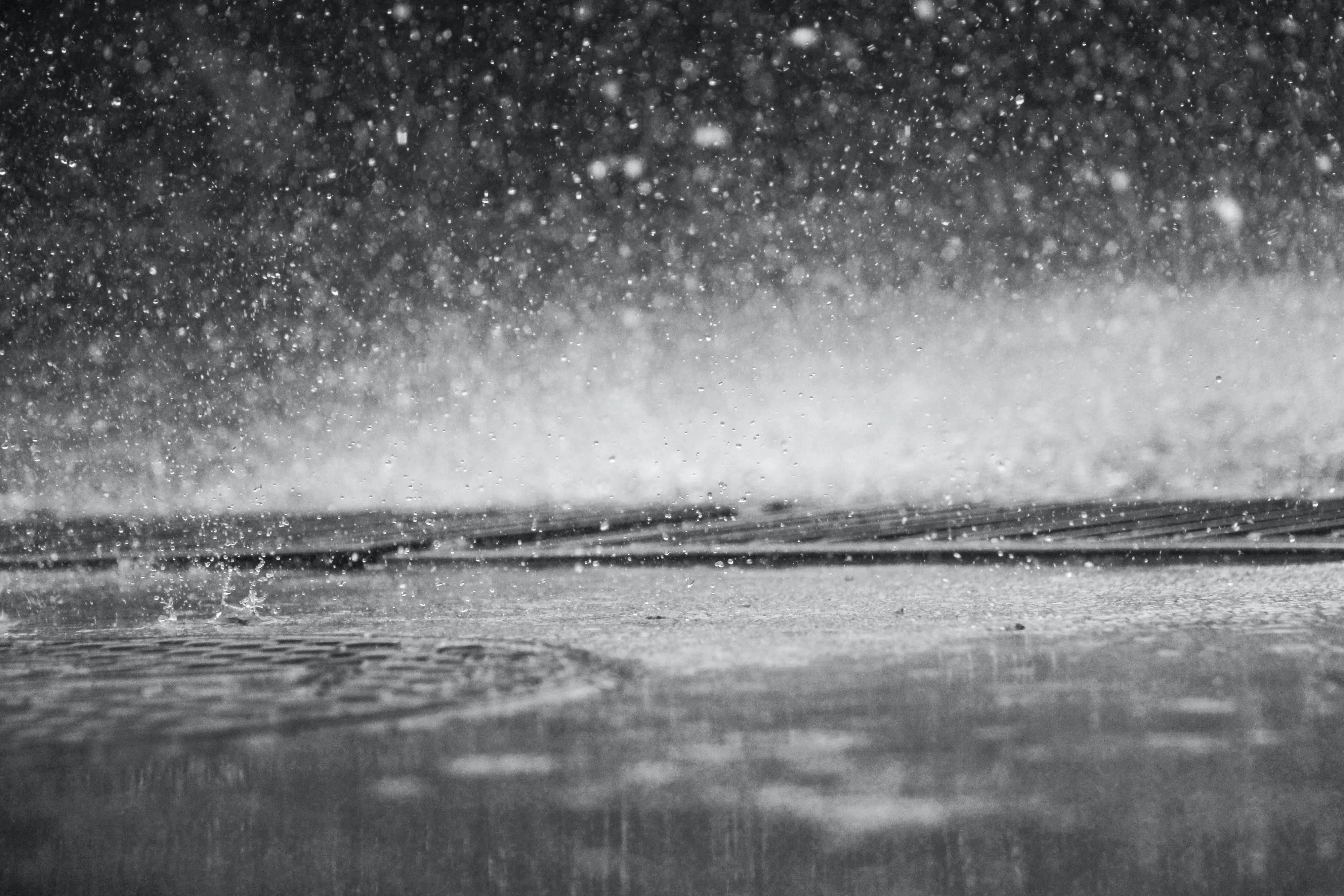
Sounds like we’re in for a storm-chips weekend with another blast of wild weather for Nova Scotia.
Expect the same messy mix of precipitation and high winds that hit us mid-week.
Environment Canada has issued wind, rainfall and storm surge warnings across the province.
The timeline for this latest system is this afternoon until this evening for the western mainland, this evening until overnight tonight for the eastern mainland, and tonight until early Sunday morning for Cape Breton.
Southeasterly winds could gust up to 90 km/h, meaning a risk of damage and utility outages.
For Inverness County – Mabou and north, a Les Suêtes wind warning is in effect. Maximum wind gusts up to 180 km/h from the southeast are expected from Margaree Harbour to Bay St. Lawrence.
Heavy rain will be preceded by a brief period of snow or ice pellets, which could cause hazardous driving conditions.
Up to 25 mm of rainfall is expected along the Atlantic coast of the mainland, with locally higher amounts possible.
High storm surge levels and large waves are expected to impact the Atlantic coast of the mainland, especially south-facing shorelines.